ENEDIS

ENEDIS

ENEDIS (new name of ERDF) manages the public electricity distribution network for metropolitan and continental France. ENEDIS ensures that users have non-discriminatory access to the network, in a objective and transparent way. Industrial operator though a public service delegation, it is responsible in development territories for operation, property maintenance and public services duties. ENEDIS is a local company covering all french department (more than 1 000 sites).

The company is the largest subsidiary of EDF. With its 36 110 employees and 34 million customers, it manages the biggest network in Europe with 1,3 million km of electrical network on high and low-tension line and around 738 000 transformers.

Need

The company ENEDIS consulted us for a work oriented application development, based on Android and for the use of its network agents.

Solution

The goal of the touch screen application based on Android MapPaint is to allow its network agents (200 for the south west region) to specify in the field – during technical appointments with customers – the need of the customers concerning their connection to the ENEDIS network.
Météo-France

Météo-France

Météo-France is a public institution with an administrative nature, under the supervision of the French Ministry of Ecology, Energy, Sustainable Development and the Sea. Its main activities include short-term and mid-term weather forecast, climatology, snow level study and more generally all types of problems linked to environment and atmosphere sciences.

Need

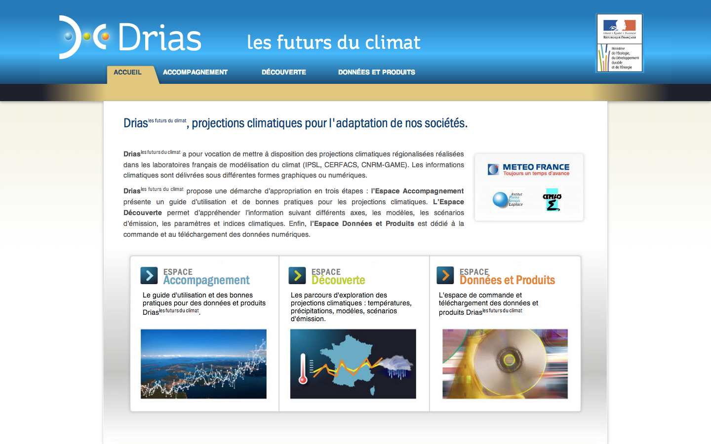
In January 2011, the Climatology Department published a call for tenders for a project named DRIAS, concerning the consulting and the development of a climatic services web portal. The first goal  of this project was to publish all the regional climatic scenarios produced by the French climate modelling laboratories. The second goal was to make the use of these regional scenarios or non aggregated data easier for people who do not necessary master computer tools for the big climate modelling.

Solution

The web portal has been developed using the visual identity of the DRIAS Project and in 2 versions, french and english.

Individuals or universities can use the ergonomic and intuitive interface to gain knowledge about climate projection concepts (temperatures or hydrometry evolution analysis…) with the option of various climate landmarks.

2 courses are available :  beginner (to familiarize with the concepts of climate projections) and expert (full presentation, for those familiar with the concepts related to climate projections).